SUSTAINABILITY
Good agricultural practices
Monitor sustainability indicators

Reduce the use of resources
The historical and forecast agrometeorological indices provide useful indications for the agronomic management of the company and for the optimisation of agricultural practice and resource use.
The pedological surveys in the field and the connection of sensors and weather stations to the platform allow you to integrate and specify the predefined environmental data, further enriching the database available to the user.
The monitoring and therefore control of crop progress is guaranteed by the satellite indices and resulting colour maps, which allow you to assess the vigour of the vegetation and any inhomogeneities in crop growth, or the water content of the plants and any plant stresses.
Orthophotographs, digital terrain models and digital surface models allow for remote territorial analysis, which can then be deepened or confirmed by geotagged photographs using the Augmented Reality technique (geophoto).
Improve your company's ecological footprint
Crop Protection Treatments
Precision agriculture
IoT Weather
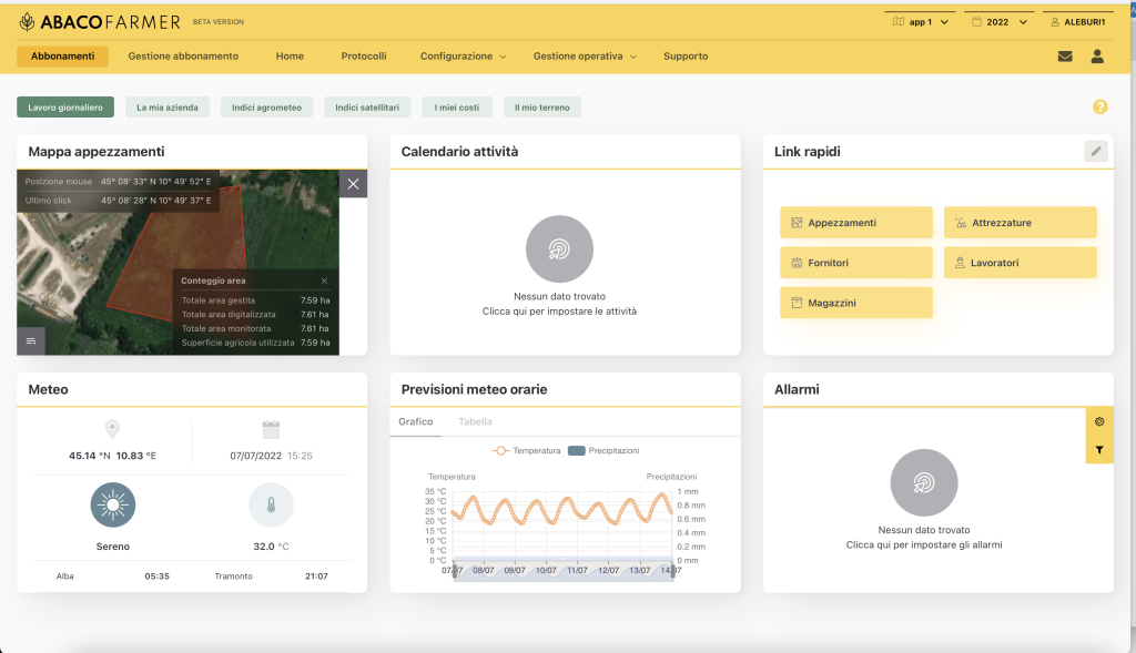
Alarms
Setting up alarms of different types in reference to Agrometeorological Indices (growing degree days, solar radiation, evapotranspiration and water reserve), Satellite Indices and environmental indices. The alarms can be activated for a certain period of time, a single
plot or a given geographical area (e.g. municipality) and according to specific parameters suitable for the conditions to be monitored.
View your data immediately
A few standard examples
AGROMETEOROLOGICAL INDICES

SATELLITE INDICES

MY SOIL
